Return to the list

CIRCUIT VTT N12 - BOUCLE DE SERIGNE PISSOTTE
A mountain bike trail on the edge of the Mervent forest, of moderate difficulty.

Contact: CIRCUIT VTT N12 - BOUCLE DE SERIGNE PISSOTTE
For further information, please contact the service provider directly by completing the form below
Presentation of: CIRCUIT VTT N12 - BOUCLE DE SERIGNE PISSOTTE
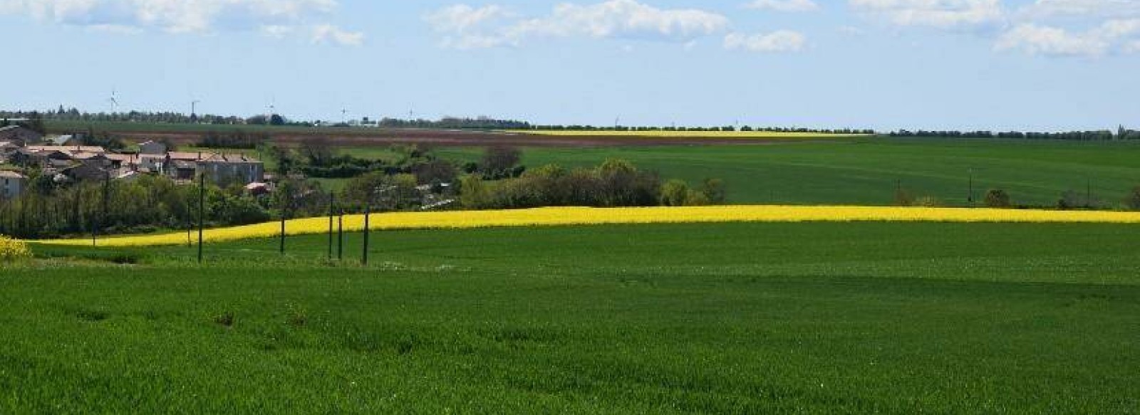
This long walk links the plain, vineyards and forest, passing through the villages of Sérigné, Pissotte and the outskirts of the town of Fontenay-le-Comte. You'll be able to admire the 2 wild, green valleys formed by the Vendée and Longèves rivers.
Start: Rue de la Rabatelière in Sérigné
Signposts: 2 yellow dots with the arrow and No. 12
Elevation gain: 242 m
Start: Rue de la Rabatelière in Sérigné
Signposts: 2 yellow dots with the arrow and No. 12
Elevation gain: 242 m
Type of routes/Nature of route
Mountain bike circuit
Departure town
SERIGNE
Arrival town
SERIGNE
Distance
22,5 Km
Means of transport
MTB, difficulty level: Average, duration: 2h
Ascent
en montée 242m
en descente 242m
Colour of tag
2 points jaune avec la flèche et le n°12
Documents to be downloaded


