Return to the list

CIRCUIT PEDESTRE LE SENTIER DE ROCHEREAU
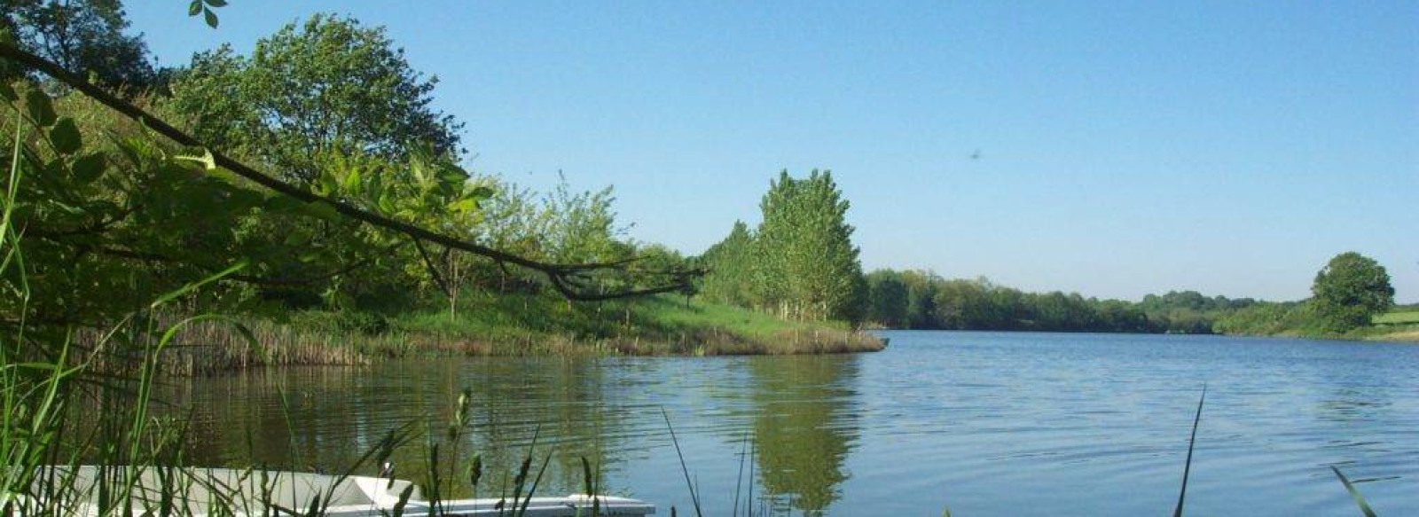
Hiking trail leading to Rochereau lake.

Contact: CIRCUIT PEDESTRE LE SENTIER DE ROCHEREAU
For further information, please contact the service provider directly by completing the form below
Presentation of: CIRCUIT PEDESTRE LE SENTIER DE ROCHEREAU
Depart from the salle des Trois Rives car park for a 16km circuit. You'll see the keep and medieval garden of Bazoges-en-Pareds in front of you.
The tour will take you to Lac de Rochereau, the largest reservoir of drinking water in the Grand Lay Valley.
Picnic tables available.
A 13km variant is also available.
The tour will take you to Lac de Rochereau, the largest reservoir of drinking water in the Grand Lay Valley.
Picnic tables available.
A 13km variant is also available.
Type of routes/Nature of route
Promenade et Randonnée (PR) footpath
Departure town
BAZOGES-EN-PAREDS
Arrival town
BAZOGES-EN-PAREDS
Distance
16 Km
Means of transport
Walking, difficulty level: Average, duration: 3h45min
Colour of tag
jaune
Type of road surfacing
61%% on dirt road
Documents to be downloaded
Access map, location
Puy du Fou: 32 Km
Marais Poitevin: 40 Km
Sea side: 54 Km


